


PosidoniaMaps app for iPhone and iPad
Developer: Movired 2000 S.L
First release : 30 Jul 2018
App size: 68.31 Mb
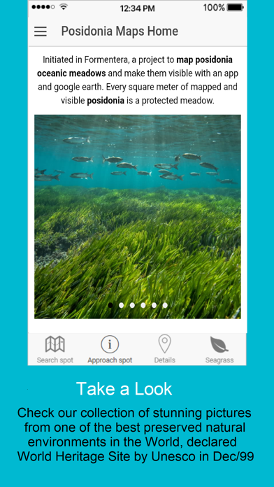
Initiated in Formentera, a project to map Posidonia oceanic meadows and make them visible with an app and google earth. Every square meter of mapped and visible Posidonia is a protected meadow.
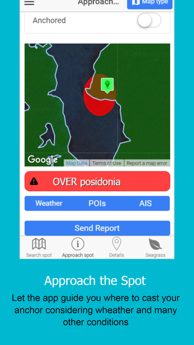
In the past 50 years, it is estimated 34% of Posidonia meadows have been lost in the Western Mediterranean (Telesca et al., 2015). This loss is due to damage caused by trawlers, boat moorings, coastal development, eutrophication, and pollution.
Damage caused by boats’ anchors has been recorded at various coastal marine habitats worldwide; for example, coral reefs (Dinsdale & Harriott, 2004). Anchoring also has negative consequences on
Posidonia (Milazzo M., 2004; Francour P., 1999), and has caused the disappearance of large prairies in
some areas of the Balearic Islands (San Felix, in press, 1994).
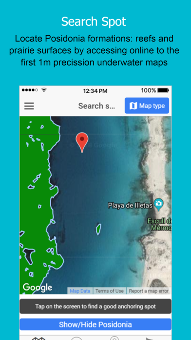
This App provides direct access to high-resolution underwater maps to ensure proper mooring even in low visibility conditions.